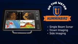
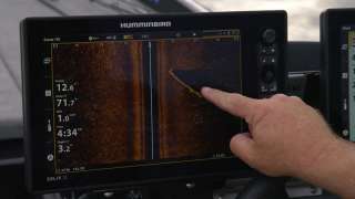
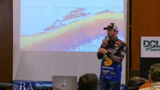
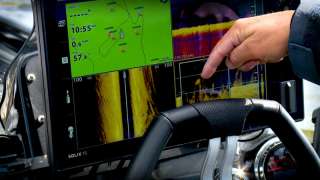
John Crews is on a new lake that has no contour map. He's going to show you how he uses his electronics to determine the structure/contours and begin to identify the available cover. This particular lake is deep and clear and appears to have characteristics of a quarry lake. Because of thos characteristics, John intends to target offshore structure and hopes to locate some cover. Join John as he searches a new body of water with his Raymarine electronics in search of structure, cover and fish. In this marine electronics sonar, downscan, sidescan and gps waypoint instructional on the water class John will cover the following topics:
- Approach to idling with a purpose
- Marking waypoints (including marking precision waypoints on the side scan, aka SideVision)
- Determining bottom composition density in down scan (aka DownVision) and side scan
- Identifying rock ledges, brush and trees
- Reminder that will save you lots of money in boat repairs when idling around and studying your graph
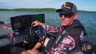
- John Crews's on-plane and idling electronics setups
- identifying the termocline
- Improving clarity on your front electronics units

